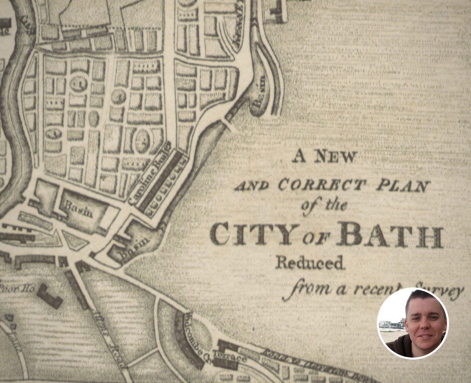
Following up on our preview from last week, we’re now pleased to announce the launch of our Bath Historical Maps project.
We’ve taken a selection of 8 maps of Bath published between 1572-1942 and aligned them with their modern equivalents so that they can now be interactively explored and compared directly from Google Earth.
We believe this is the first time these maps, which were provided by B&NES and the British Library, have been presented in this digital form, making it easy for anyone to view and explore the history of Bath. In some cases this is the first time the maps have been available to the general public.
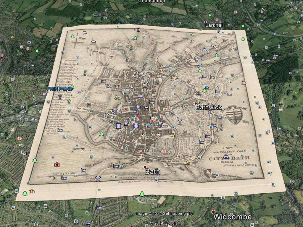
Using Google Earth it is now possible to:
- explore how the city has developed over the last 400 years
- compare the maps with present day geography, as well as with each other
- see major developments such as the arrival of the railway in 1840 and the development of Green Park station in 1870
- discover “lost” buildings including the RLSI building demolished in 1932
- see the extent of the damage from the April 1942 air raids, as well as the location of individual bomb sites
We think this provides an amazing digital resource for local residents, teachers, historians, tourists, or anyone with an interest in the history of Bath. The maps also provide a unique way to start to collate and present additional historical information about the city. Including the heritage data in our data store.
The Bath Historical Maps project page provides instructions for how to view the maps in Google Earth.
In future releases we plan to make it easy to explore the maps directly from your browser. We also plan to extend the collection of maps over time, and will work with the council, or any other archives that hold digitised maps of Bath to include them in the collection.
Please explore the maps, share them with others, and let us know what you think!