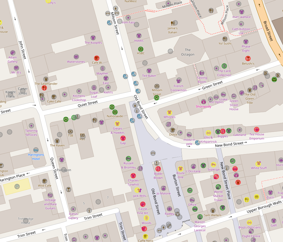
The Council has been exploring some ideas about how to more efficiently manage and publish openly licensed mapping data. It has now published a study to show which proposals may be of use to other areas looking to build on their work.
As part of the Open Data Institute geospatial stimulus fund, the Council has published a feasibility study that explores a variety of open approaches that will change how it manages and publishes geospatial data. The document represents a working tool for the Council to change its technical processes and will hopefully be of use to other local areas looking to make more efficient, effective and open ways of working with geospatial data.
The feasibility study looks at:
- Replacing of existing technology with Open Source alternatives
- Review the creation of geospatial data to consider the use of more open data sources and to help make data more open
- Methods to make the publication of data more efficient and effective.
It assesses this by proposing a model to understand the lifecycle of how geospatial data is collected, managed and shared. This life-cycle is broken down into the following stages:
- Creating geospatial data: The workflows and tools used by Council staff to create geospatial data
- Data Storage: Technical mechanisms used to store data
- Documentation: Information held about the data
- Licensing: legal and policy frameworks which define how data can be reused
- Sharing and Re-use: Technical methods to share data
Proposals for more open working are made through each section.
View the feasibility study (Google Doc)

